Glacier National Park
The easiest way to get to Glacier National Park is to fly into Kalispell, which is roughly 40 minutes from the East entrance of the park.
The park is roughly shaped like a left leaning parallelogram that stretches south from the Canadian boarder and is bisected by the only paved road in the park, the Going-to-the-Sun road, which is often closed until late June because of snow.
If the campgrounds within the park are all occupied it is possible to camp in a clearing where McDonald creek and Middle Fork Flathead river meet.
Glacier is known for its avalanche danger. On Memorial Day of 2019 a massive stream of snow crossed the road, trapping some visitors for hours. The danger is much more significant in the backcountry.
Glacier has a significant beer population and it is important to be adequately prepared.
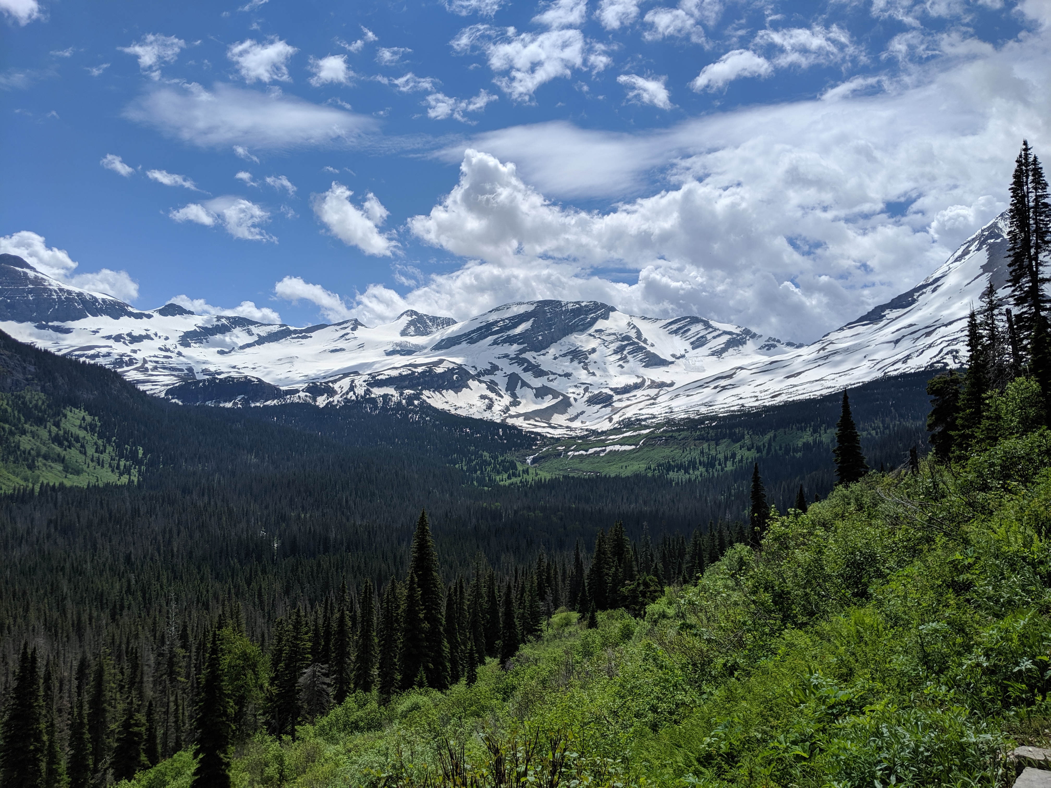
Mountain summits
There are several summits above 3,000 meters or 10,000 feet. Some of those also sit above glaciers that may not be around much longer.
Mount Jackson
Mount Jackson is relatively easily accessible given its proximity to the Going-to-the-Sun road and has an easier route to the summit than some other peaks. To the west is the Harrison glacier and to the east is the Jackson glacier. The Sperry glacier is located between Mt Jackson and the Going-to-the-Sun Road.
Kintla peak
Another interesting peak that is far less accessible and closer to the Canadian border is Kintla peak. To the west is the Kintla glacier and to the east is the seemingly more accessible Agassiz glacier. Reaching the northwest corner of the park where the mountain is located requires driving north along Fork road, which runs along Flathead river at the bottom of a valley.
June 2019 trip
We arrived at Kalispell at midnight and after picking up a rental car, drove to the Apgar campground where we quickly found a campground. The campground was beautifully maintained and even included showers that were greatly appreciated at the end of the trip as we made our way to the airport.
The following morning we stopped by the Backcountry office in Apgar Village to get a permit. We bought fuel from the office, but rented bear spray from the shop next door. After a quick lunch on the shore below Lake McDonald Lodge we hiked up to the Sperry Campground just above the Chalet, which was closed as they made repairs after a fire. The campground was covered in snow, except for a small area that was a great spot to pitch our tent. The mosquitoes and gnats were particularly ferocious.
The next morning we hiked up towards Lincoln Pass, but turned around after following fresh bear tracks through the snow and then scat below the pass. We turned around and made our way up the snow fields to Feather Women Lake, which included a delay of roughly an hour due to some mountain goats walking along the trail.
The following day we hiked up to Lincoln Peak with only a few patches of dirt between the campground and the peak. We made it back to the Apgar Backcountry office a few minutes after they stopped issuing permits, but we ended up following their recommendation to explore the east side of the park and made it to Rising Sun campground before dark.
We made it to Gunsight lake the following afternoon after walking right by a black bear munching on some berries in a bush just off the trail. The next morning we hiked up to the snow fields below the Jackson Glacier. We hiked out and then drove around to Cut Bank campground, which was one of the most beautiful frontcountry campgrounds I’ve visited.
After a leisurely breakfast on Monday morning we drove to Apgar to drop off our spray, donate our remaining fuel and take a quick shower before heading to the airport.